|
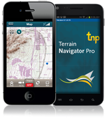
The TNP mobile app allows professionals to collect markers, tracks, and geo-stamped photos in the field, and then sync all the GPS data into the Terrain Navigator Pro office software.
Features include:
- Display and navigate routes created on the TNP desktop.
- Collect field data (markers, tracks, photos, videos, audio clips) in areas without a cellular or data signal.
- Near real-time sync between phone and TNP map software via Wifi or cellular data connection.
- View data on topo, aerial, and street maps (maps can be pre-downloaded to the phone for offline use.)
- Access a compass and other geo-information such as lat/long, elevation, and direction on the phone.
- Collect data off-grid and offline. The TNP mobile app uses the GPS built into smartphones, so professionals can collect field data in areas without a cellular or data signal.
|

 |